Country / Territory Map
NPA |
COUNTRY/TERRITORY |
LOCATION |
CITIES (* denotes capital) |
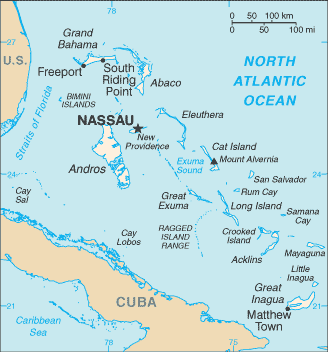
242 |
Bahamas |
Caribbean, chain of islands in the North Atlantic Ocean, southeast of Florida, northeast of Cuba |
Nassau*, Freeport, Matthew Town |
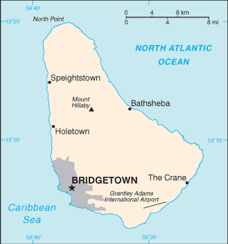
246 |
Barbados |
Caribbean, island in the North Atlantic Ocean, northeast of Venezuela |
Bridgetown*, Bathsheba |
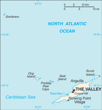
264 |
Anguilla |
Caribbean, islands between the Caribbean Sea and North Atlantic Ocean, east of Puerto Rico |
The Valley*, Blowing Point Village |
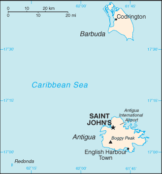
268 |
Antigua/Barbuda |
Caribbean, islands between the Caribbean Sea and the North Atlantic Ocean, east- southeast of Puerto Rico |
St. Johns*, English Harbour Town |
284 |
British Virgin Islands |
Caribbean, islands between the Caribbean Sea and the North Atlantic Ocean, east- southeast of Puerto Rico |
Road Town* |
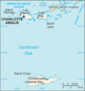
340 |
US Virgin Islands |
Caribbean, islands between the Caribbean Sea and the North Atlantic Ocean, east of Puerto Rico |
Christiansted, Charlotte Amalie*, Cruz Bay |
NPA |
COUNTRY/TERRITORY |
LOCATION |
CITIES (* denotes capital) |
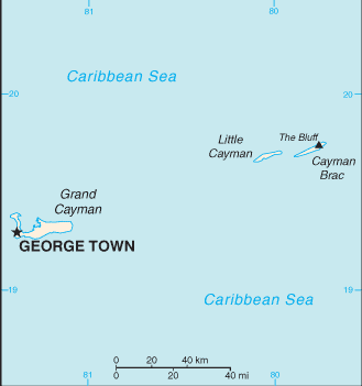
345 |
Cayman Islands |
Caribbean, three-island group (Grand Cayman, Cayman Brac, Little Cayman) in Caribbean Sea, 240 km south of Cuba and 268 km northwest of Jamaica |
George Town* |
441 |
Bermuda |
North America, group of islands in the North Atlantic Ocean, east of South Carolina (US) |
Hamilton*, Dockside, Somerset |
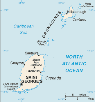
473 |
Grenada |
Caribbean, island between the Caribbean Sea and Atlantic Ocean, north of Trinidad and Tobago |
Saint George's*, Hillsborough, Gouyave |
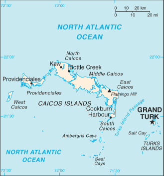
649 |
Turks & Caicos Islands |
Caribbean, two island groups in the North Atlantic Ocean, southeast of The Bahamas, north of Haiti |
Grand Turk*, Kew, Bottle Creek, Providenciales |
664 |
Montserrat |
Caribbean, island in the Caribbean Sea, southeast of Puerto Rico |
Brades, Plymouth* |
670 |
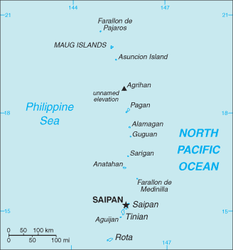
Northern Marianna Islands (CNMI) |
Oceania, islands in the North Pacific Ocean, about three-quarters of the way from Hawaii to the Philippines |
Saipan*, Rota, Agrihan |
NPA |
COUNTRY/TERRITORY |
LOCATION |
CITIES (* denotes capital) |
671 |
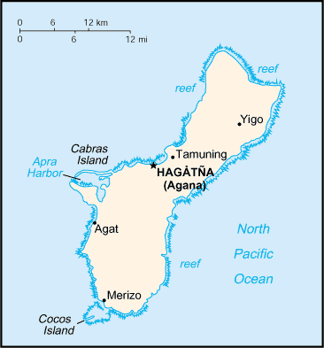
Guam |
Oceania, island in the North Pacific Ocean, about three-quarters of the way from Hawaii to the Philippines |
Hagatna (Agana)* |
684 |
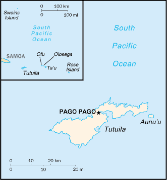
American Samoa |
Oceania, group of islands in the South Pacific Ocean, about half way between Hawaii and New Zealand |
Pago Pago* |
721 |
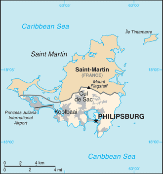
Sint Maarten |
Caribbean, located in the Leeward Islands (northern) group; Dutch part of the island of Saint Martin in the Caribbean Sea; Sint Maarten lies east of the US Virgin |
Phillipsburg * |
758 |
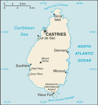
St. Lucia |
Caribbean, island between the Caribbean Sea and North Atlantic Ocean, north of Trinidad and Tobago |
Castries*, Cul du Sac |
787 |
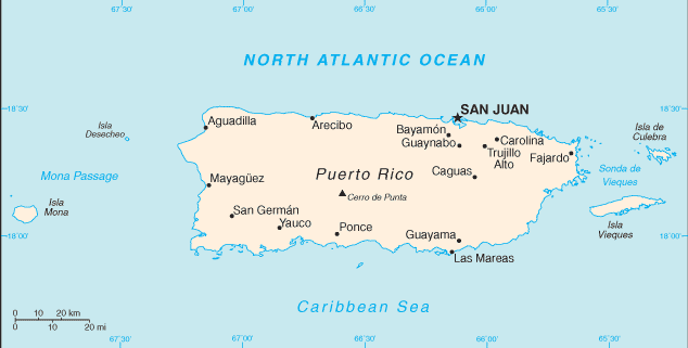
Puerto Rico |
Caribbean, island between the Caribbean Sea and the North Atlantic Ocean, east of the Dominican Republic |
San Juan*, Guayama, Carolina |
939 |
NPA |
COUNTRY/TERRITORY |
LOCATION |
CITIES (* denotes capital) |
767 |
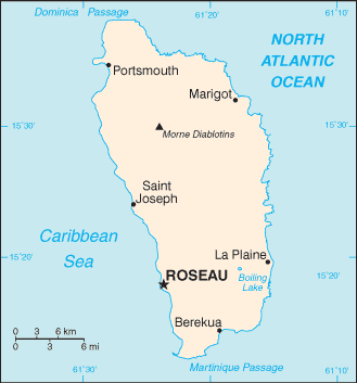
Dominica |
Caribbean, island between the Caribbean Sea and the North Atlantic Ocean, about half way between Puerto Rico and Trinidad and Tobago |
Rosseau*, Portsmouth, Saint Joseph |
784 |
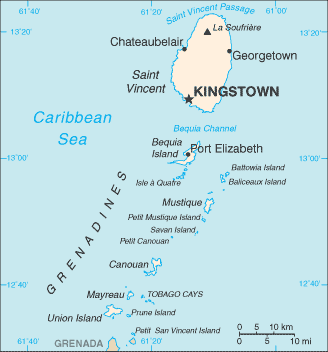
St. Vincent & Grenadines |
Caribbean, islands between the Caribbean Sea and North Atlantic Ocean, north of Trinidad and Tobago |
Kingstown*, Georgetown, Chateaubelair |
809 |
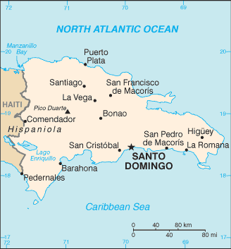
Dominican Republic |
Caribbean, eastern two-thirds of the island of Hispaniola, between the Caribbean Sea and the North Atlantic Ocean, east of Haiti |
Santo Domingo*, Puerto Plata |
829 |
849 |
868 |
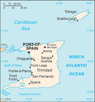
Trinidad & Tobago |
Caribbean, islands between the Caribbean Sea and the North Atlantic Ocean, northeast of Venezuela |
Port-of-Spain*, Point Fortin, Scarborough |
NPA |
COUNTRY/TERRITORY |
LOCATION |
CITIES (* denotes capital) |
869 |
St. Kitts & Nevis |
Caribbean, islands in the Caribbean Sea, about one-third of the way from Puerto Rico to Trinidad and Tobago |
Charlestown, Brasseterre*, Sandy Point Town |
658 |
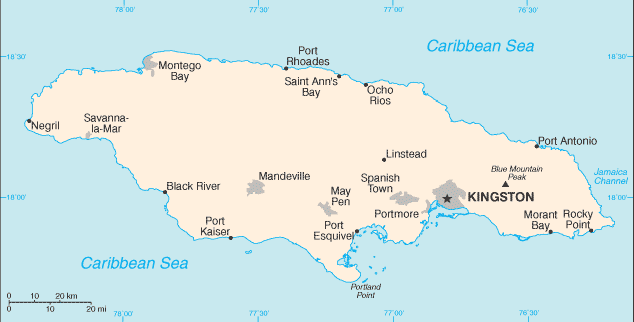
Jamaica |
Caribbean, island in the Caribbean Sea, south of Cuba |
Montego Bay, St. Ann's Bay, Kingston*, Negril |
876 |
Return to main Area Code page
|